 |
With the sophisticated survey equipment, highly skilled experienced and professional survey teams, Soil Tech provides services for wide range of survey and mapping treams. Soil tech is one of the few company in Sri Lanka which provides aerial survey, underground utility location survey and crack survey services. Aerial SurveyWith the technology of latest unmanned aerial vehicles which we have it is possible to capture process and analyses all the drone data including,
For all applications in surveying such as geodesy, GIS, urban planning and agriculture etc. With this technique soil tech has ability to overcome issues to the sites with vegetation, boulders and water sources. Also this method needs minimum staff and Soil Tech provides aerial survey works ten times faster than traditional methods. |
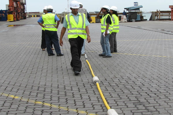
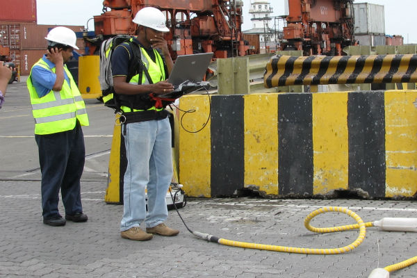
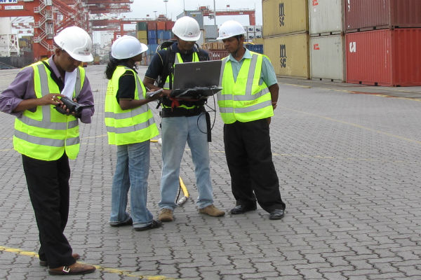
Underground Utility LocationA key component of construction works in urban areas is to knowing where any underground utilities are located. Soil Tech is pleased to offer this servise without digging the earth by using our latest technology. Our team of professional technical are well trained to identify the utilities point to point and provide design professional or excavatet to the excavation works as well. Crack SurveyCrack survey is one of the important part which is must need to carry out before any tunneling piling or excavation project. With the highly trained team and technology of ours we can identify miner cracks to larger cracks such as structural crack as well. Also we are providing the cracks reports by including the all the information and photographs. Addition to above services Soil Tech is providing traditional survey services as well. |
|
SOILTECH Key expertise Surveying Areas
- Soil Surveys
- Mineral Surveys
- Geological Surveys
- GPS / GIS surveys
- Geophysical surveys
- Gemological surveys
- Geochemical surveys
- Environmental surveys
- Topographical surveys
- Archaeological surveys
- Hydrographical surveys
- Hydro geological surveys
- Water resources surveys
- Ground Penetrating radar (GPR) surveys
SOILTECH Marine Survey Capability Extends for ,
|
|